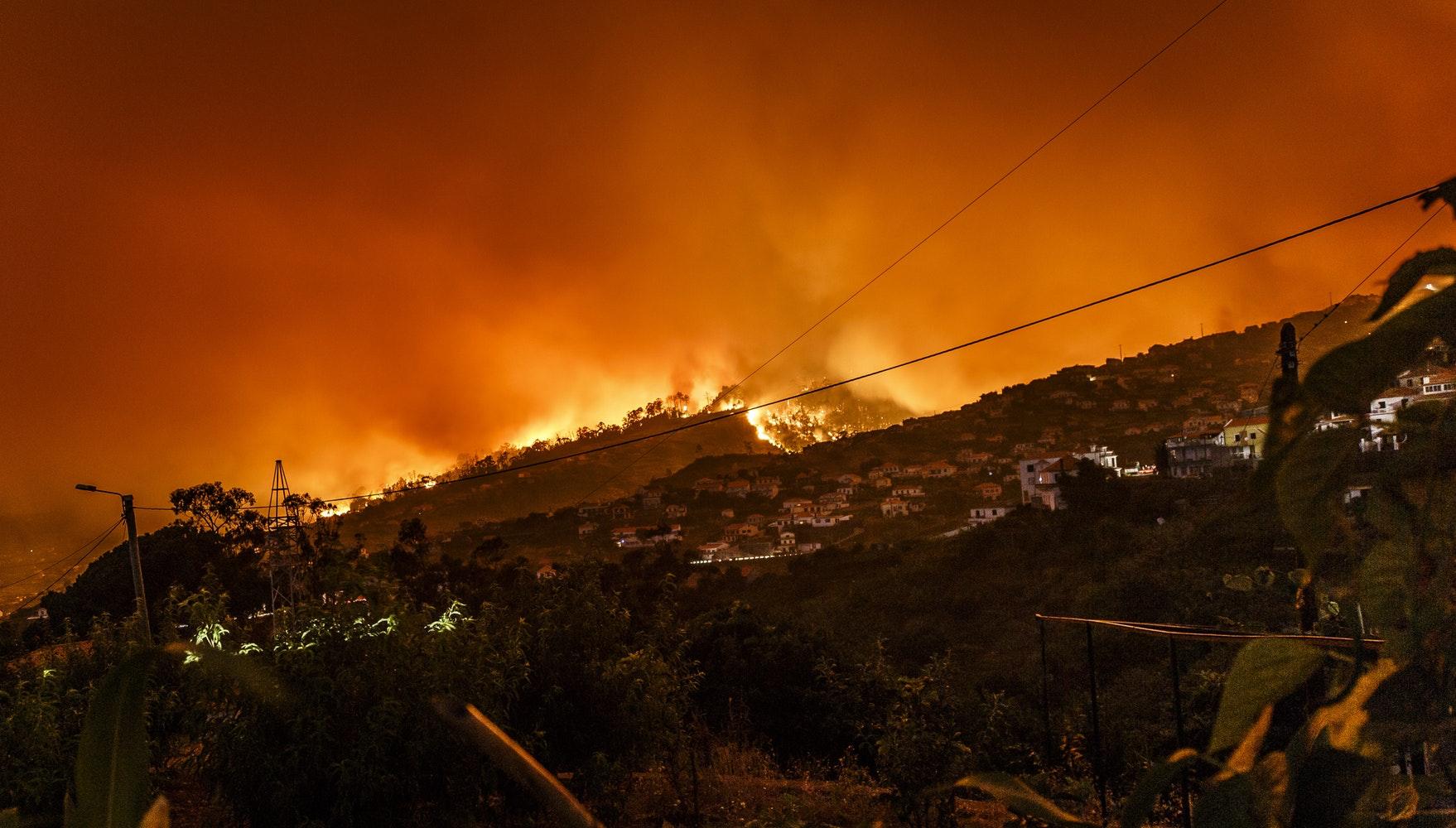
Folks have read our op-ed and largely agree with its premise. However, there are some who argue that people should be able to live in dangerous areas if they want to. And largely, I would tend to agree. Property rights allow people to make bad decisions or at least take certain risks. However, land use policy can limit the risk by not allowing large concentrations of houses in areas that are particularly precarious and indefensible. There is a big difference between evacuating a few hundred homes on a two lane country road versus evacuating thousands of homes on that same two lane road. If there isn’t an increase in the throughput of that two lane road to handle the additional load, we should really not encourage higher density than the road can allow. We should really be using evacuation modeling to analyze the risk a lot better than we currently do.
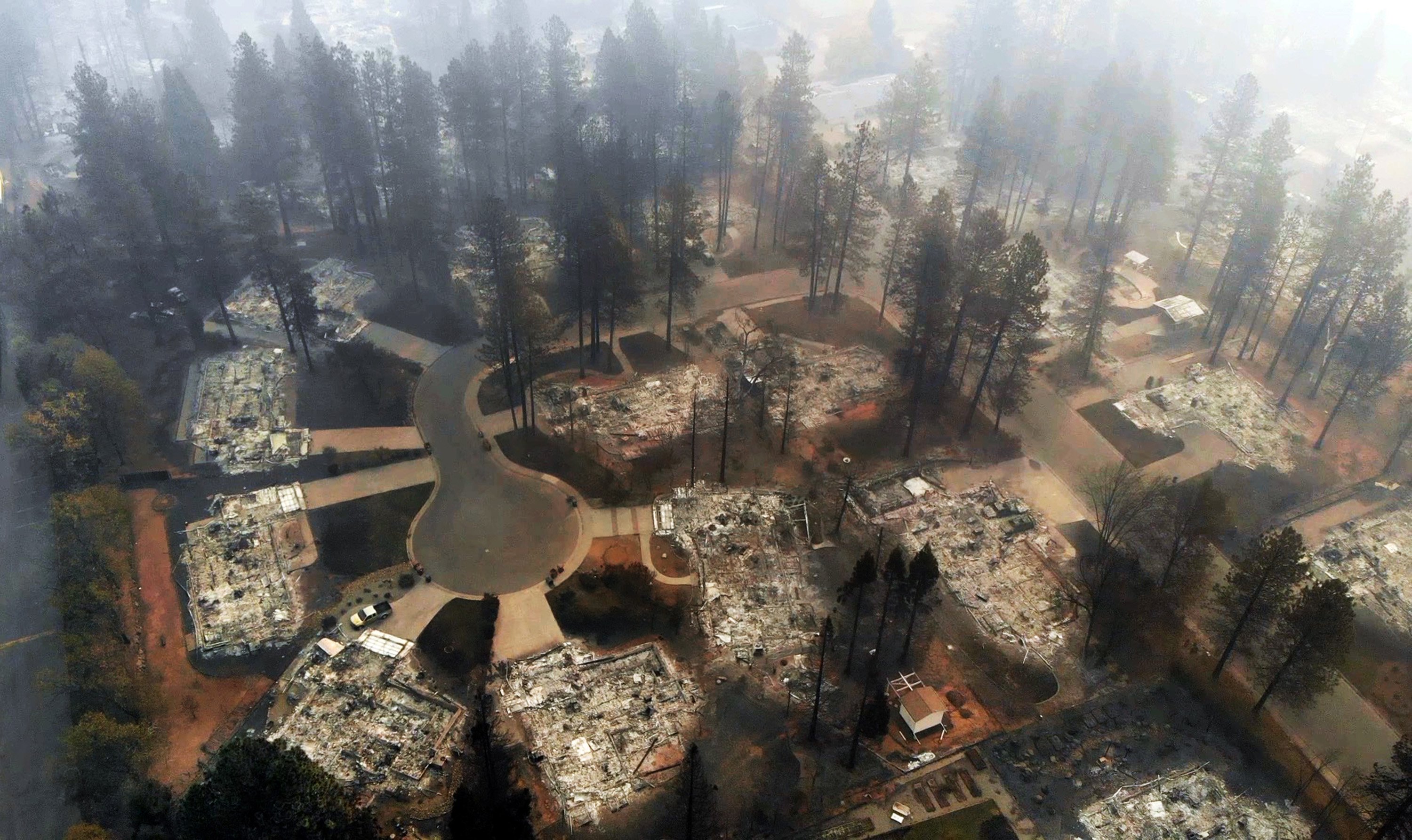
There are others (such as Borre Winkel of the Building Industry Association) who argue that there is fire risk all over the County pointing to a Fire Hazard map that shows fingers of fire risk extending throughout the urban areas. Surely we can’t stop all building in those circumstances. Of course not, but the largest contiguous expanses of hundreds of thousands of acres of brush-covered land is in the rural and semi-rural areas of the North and East County and we have already limited development in those areas for that very reason.
Incidentally, these are areas that the County and CalFire have designated as particularly dangerous and for that reason were zoned with lower density to protect public safety. These are also areas that were the locations of the biggest and most dangerous fires in the County. And of course, this is the site of upwards of 15 general plan amendment projects that are proposing doing away with these protections. This is on a completely different level from the randomly placed, fire-prone canyons in the city of San Diego which are much more defensible than say, hundreds of thousands of acres in the unincorporated area.

You can explore an interactive CalFire fire hazard map on our data page by clicking here: http://growthesandiegoway.com/data/#fire Clicking on the area will show its hazard mapping designation (Very High, High, Moderate).

So it is not a one size fits all approach.
The Grow the San Diego Way Op Ed, here: